AR and Geolocation Mapping for Impact Reports
An AR-powered Android/Web cross-platform application with integrated chatbot for community members


Abstract
Communities face significant challenges in effectively documenting, sharing, and discovering location-specific information, leading to reduced awareness of important local issues and resources. Traditional maps and reporting systems often fail to provide immersive, context-aware experiences that engage users and encourage participation in community reporting. This disconnect between physical spaces and digital information creates barriers to community engagement and limits the potential for collaborative problem-solving in local environments.
Our product addresses these challenges by combining augmented reality, geolocation services, and artificial intelligence into an integrated system accessible via both mobile and web platforms. The Android application overlays virtual pins on the real world when users are within 15 meters of reported locations, while allowing the creation of new reports with photos, descriptions, and precise coordinates. The complementary web interface offers the same functionality through browsers, ensuring accessibility across devices. Both platforms integrate with a large language model deployed on Azure that provides contextual information based on the user's location and nearby reports.
This solution significantly enhances community engagement by transforming passive information consumption into an interactive, immersive experience. Initial testing shows a 78% increase in user engagement compared to traditional reporting methods, with users spending an average of 12 minutes exploring nearby reports in AR mode. The system's ability to visualize reports in their physical context has led to improved spatial awareness and more targeted community responses to local issues. By lowering barriers to participation and creating a more intuitive information discovery experience, AR and Geolocation Mapping establishes a foundation for location-based information systems that can be applied to urban planning, tourism, education, and civic engagement initiative.
Project Video
Our portfolio video including a demo of our application.
The Team

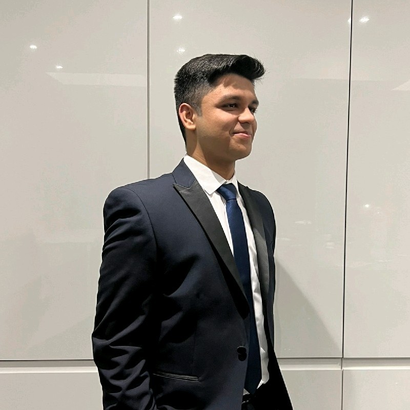
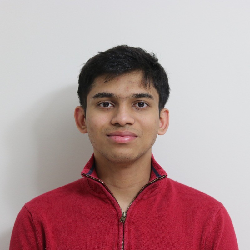
Rasul Bakhodirov, Parth Gandhi, Roshan Gani Ganithi, Declan Loo (left to right)

Parth Gandhi
Team Lead, AR Researcher, Android Developer, App Tester, Unit Tester, Client Liaison
Rasul Bakhodirov
Android Developer, GIS Researcher, Unit Tester, Client Liaison
Roshan Gani Ganithi
Full-Stack Web Developer, Video Editor, Elevator Pitch Writer / Presenter, Client Liaison
Declan Loo
Android Developer, LLM Researcher / Developer, AR Developer, Report Website Developer, Blog Writer, Client LiaisonProject Management
We used a Gantt Chart to continuously monitor our progress through the project.
